

The Dutch North Sea coast runs about 450 kilometers from the Wadden Islands in the north to the Belgian border in the south, with roughly 250 kilometers of sandy beach along the way. The coast splits into 4 main stretches: Den Helder and Texel, the Noord-Holland coast, the Zuid-Holland coast, and Zeeland. This guide covers the coast as a whole, for planning a longer coastal trip rather than a single beach day; for one destination at a time, start with the best beaches in the Netherlands guide, then compare beaches near Amsterdam and the Leiden guide for city-based beach access.
How Long Is the Dutch North Sea Coast?
The Dutch North Sea coast measures about 450 kilometers, with around 250 kilometers of sandy beach. A dedicated cycling route, the Dutch Coastal Route, follows the full length at 610 kilometers, running from Sluis in Zeeland to the German border near Nieuweschans.
What Are the Main Regions of the Dutch Coast?
The table below breaks the coast into its 4 main regions, from north to south.
| Region | Province | Known For |
|---|---|---|
| Den Helder and Texel | Noord-Holland | Wadden Sea ferry gateway, largest Wadden Island |
| Noord-Holland Coast | Noord-Holland | Zandvoort, Bloemendaal aan Zee, IJmuiden |
| Zuid-Holland Coast | Zuid-Holland | Katwijk, Noordwijk, Scheveningen, Hoek van Holland |
| Zeeland | Zeeland | Domburg, Renesse, the Delta Works, oysters |
What Is the Den Helder and Texel Coast Like?
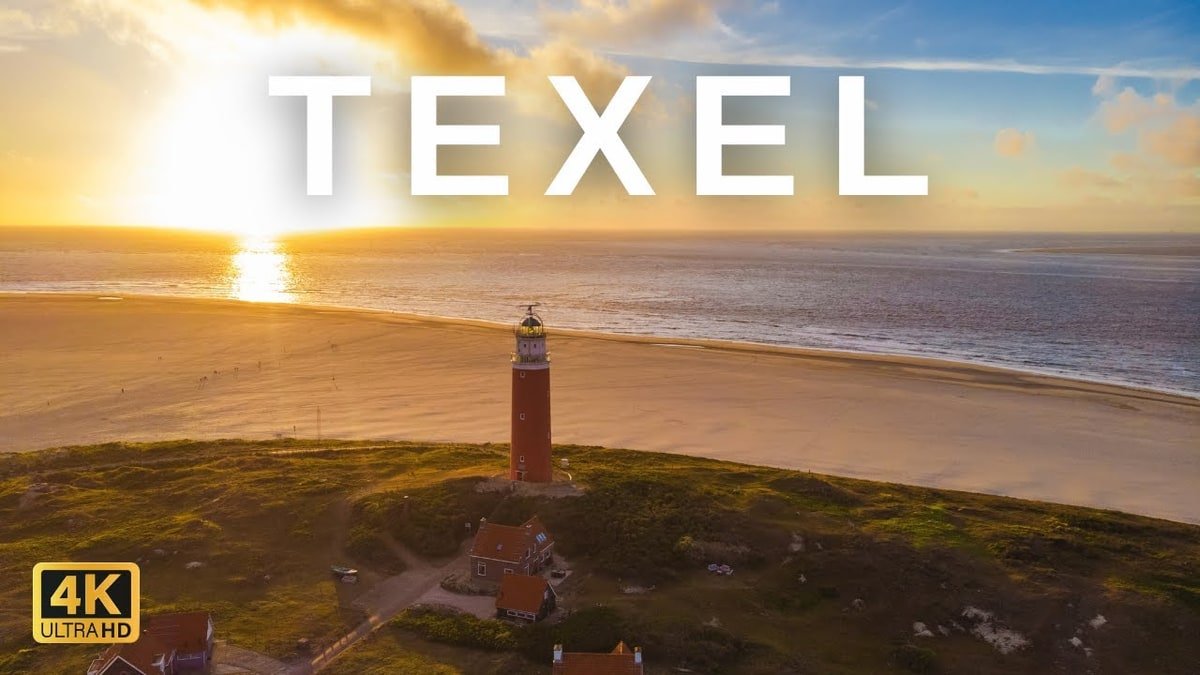
Den Helder sits at the northern tip of the Noord-Holland peninsula and serves as the mainland gateway to Texel, the largest of the Dutch Wadden Islands. The Royal TESO ferry crosses the Marsdiep channel in about 20 minutes. Texel measures 25 kilometers long and holds 27 kilometers of beach, with more than a quarter of the island protected as national park dunes. Four more Wadden Islands sit further east along the same coastline: Vlieland, Terschelling, Ameland, and Schiermonnikoog, each reachable by a separate ferry from a different mainland port.
What Is the Noord-Holland Coast Like?
The Noord-Holland coast runs from the dune villages north of Bergen, including Bergen aan Zee and Egmond aan Zee, down through Wijk aan Zee and IJmuiden to Zandvoort and Bloemendaal aan Zee, the closest beaches to Amsterdam. This stretch suits a day trip more than a multi-day stay, since most towns sit within an hour of Amsterdam by train or bus. For transit details and beach-by-beach comparisons, see the beaches near Amsterdam guide.
What Is the Zuid-Holland Coast Like?
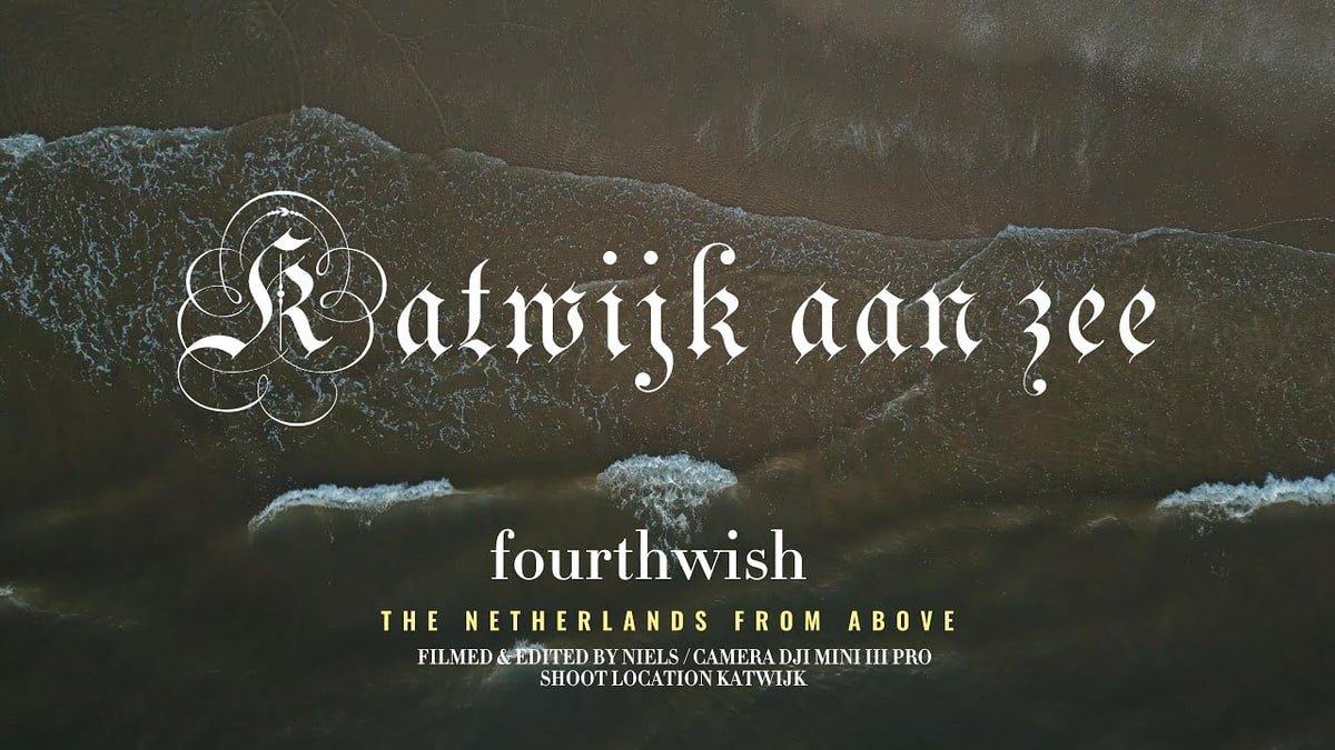
The Zuid-Holland coast runs from Katwijk and Noordwijk in the north through Scheveningen, The Hague's seaside district, down to Hoek van Holland in the south. Katwijk and Noordwijk both sit within a 30-minute bus ride of Leiden; see the Leiden guide for transit details and a beach comparison.
What Is Scheveningen Known For?
Scheveningen is The Hague's beach district, built around a 382-meter pier that has stood since 1959. The pier holds shops, restaurants, and the only sea-spanning Ferris wheel in the Netherlands, installed in 2015. The pier alone draws more than 2 million visitors a year.
What Is Hoek van Holland Known For?
Hoek van Holland sits at the southern end of the Zuid-Holland coast, at the mouth of the Nieuwe Waterweg shipping channel into Rotterdam. The beach here is quieter than Scheveningen's, and the harbor serves as a Stena Line ferry terminal connecting to Harwich, England.
What Is the Zeeland Coast Like?
Zeeland forms the southwestern tip of the Dutch coast, split across several islands and peninsulas connected by dikes and bridges. The province records more sunshine hours than any other part of the Netherlands during summer and is known for oysters, mussels, and the Delta Works, the storm surge barriers built after the 1953 flood. Walcheren, the peninsula holding Domburg and Vlissingen, and Schouwen-Duiveland, home to Renesse, are the 2 most visited beach areas. A third area, Zeeuws-Vlaanderen, sits furthest south along the Belgian border, with quieter beaches around Cadzand and Sluis.
What Is Domburg Known For?
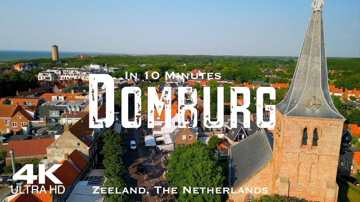
Domburg is Zeeland's oldest seaside resort, dating to 1834, with 5 kilometers of beach running between Westkapelle and Oostkapelle. The town pairs a wide, dune-backed beach with a small historic center, and drew painters, including Piet Mondrian, in the early 20th century.
What Is Renesse Known For?
Renesse sits on Schouwen-Duiveland and holds Blue Flag certification for water quality and beach management. The town combines a wide swimming beach with a livelier restaurant and nightlife scene than Domburg, drawing a younger crowd in summer.
When Is the Best Time to Visit the Dutch Coast?
Summer (June to August) suits swimming and sunbathing across all 4 regions, with the warmest water and the most beach club and pavilion openings. Autumn and winter bring stronger, more consistent winds, drawing surfers, windsurfers, and kitesurfers to beaches such as IJmuiden and the Zeeland coast. Spring overlaps with the Dutch bulb-flower season near Noordwijk and Zeeland, adding a second reason to combine a coastal trip with inland sightseeing.
How Do the Regions of the Dutch Coast Connect?
Driving the full coast from Den Helder to the Zeeland border covers roughly 300 kilometers and takes about 4 hours without stops, mostly along inland roads rather than a single coastal highway. Most visitors split the coast into 2 or 3 separate trips, since the Wadden Islands require a ferry crossing and Zeeland sits more than 2 hours from Amsterdam by car.
Which Part of the Dutch Coast Should You Visit?
Den Helder and Texel suit visitors interested in island nature and the Wadden Sea. The Noord-Holland coast suits a day trip from Amsterdam. The Zuid-Holland coast suits visitors basing themselves in Leiden or The Hague. Zeeland suits a longer, dedicated beach holiday away from the cities.
What Should You Know About the Dutch North Sea Coast?
The Dutch coast runs 450 kilometers from the Wadden Islands to the Belgian border, split into 4 distinct regions: Den Helder and Texel, the Noord-Holland coast, the Zuid-Holland coast, and Zeeland. Each region suits a different kind of trip, from a single afternoon near Amsterdam to a week-long stay in Zeeland. For single-beach guides within this coastline, see the best beaches in the Netherlands, beaches near Amsterdam, and the Leiden guide.

Georgia Williams writes for Best Beaches Near Barcelona by riding the same Rodalies trains she sends readers to catch. She has done the quick R2 Sud run out to Castelldefels and Sitges more times than she can count, and the longer hauls north to Calella, Blanes, and the Costa Brava coves around Tossa de Mar, Roses, and Cadaqués.
She is not chasing sponsorships and she does not work with tourism boards. She has stood on enough train platforms recalculating a ruined plan to know that a beach photographed at sunrise with nobody in frame tells you almost nothing about what it looks like at noon in July.
Her writing compares sand, water, and crowd levels town by town, and says plainly when a popular spot has stopped being worth the trip. She also says when an overhyped beach is still genuinely good, because contrarianism for its own sake helps no one packing a beach bag on a Friday morning.